| Particular | Description | ||
|---|---|---|---|
| Capital | Dispur | ||
| Date of Attaining Statehood | 15th August, 1947 | ||
| Population (Census 2011) | 31,169,272 | ||
| Area | 78,438 Sq. km | ||
| Districts | 33 | ||
| Official Language | Assamese, Bengali (in Barak Valley Districts), Bodo (in Bodo Territorial Council area) & English | ||
| Other Languages/Dialects | Other languages/dialects and dialects are Bengali, Dimasa, Mishing, Karbi, Rambha, Tinua and sub-groups likeTai - Phake, Tai - Aiton, Tai - Khamti. | ||
| Population Composition | Decadal Population Growth Rate (2001- 2011, Census 2011) | 4,513,744 (16.93%) | |
| Population Density (persons per sq km as per census 2011) | |||
| 2011 | 397 | ||
| Sex Ratio (Females per 1000 males) | |||
| 2011 | 954 | ||
| Literacy | |||
| 2011 | 73.18 | ||
| ST population% (Census 2001) (from website of M/o Tribal Affairs) | 12.42 | ||
| SC population % (Census 2001) (from website of M/o SJ&E) | 6.9 | ||
| Forest Cover | India State of Forest Report-2021 (page no:21-28)  |
||
| Seats in Legislative Assembly | 126 | ||
| Seats in Lok Sabha | 14 |
||
| Seats in Rajya Sabha | 7 | ||
| Governor | Shri Gulab Chand Kataria | ||
| Chief Minister | Dr. Himanta Biswa Sarma | ||
| State Portal | http://assam.gov.in/ | ||
| Brief Intro from www.india.gov.in | http://www.india.gov.in | ||
Capital - Dispur
Population - 3,11,69,272 (Census 2011)
Area - 78,438 Sq.km.
Districts - 27(Twenty Seven)
Click on map for larger view
| Sl. No. | Districts | Head Quarter | Area | % of Area | Population (As per 2011 Census) |
% of Population | Map |
|---|---|---|---|---|---|---|---|
| 1. | Baksa | Mushalpur | 2400 | 3.05 | 953773 | 3.06 | 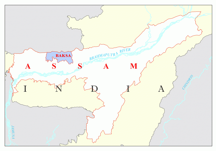 |
| 2. | Barpeta | Barpeta | 3245 | 4.14 | 1693190 | 5.43 | 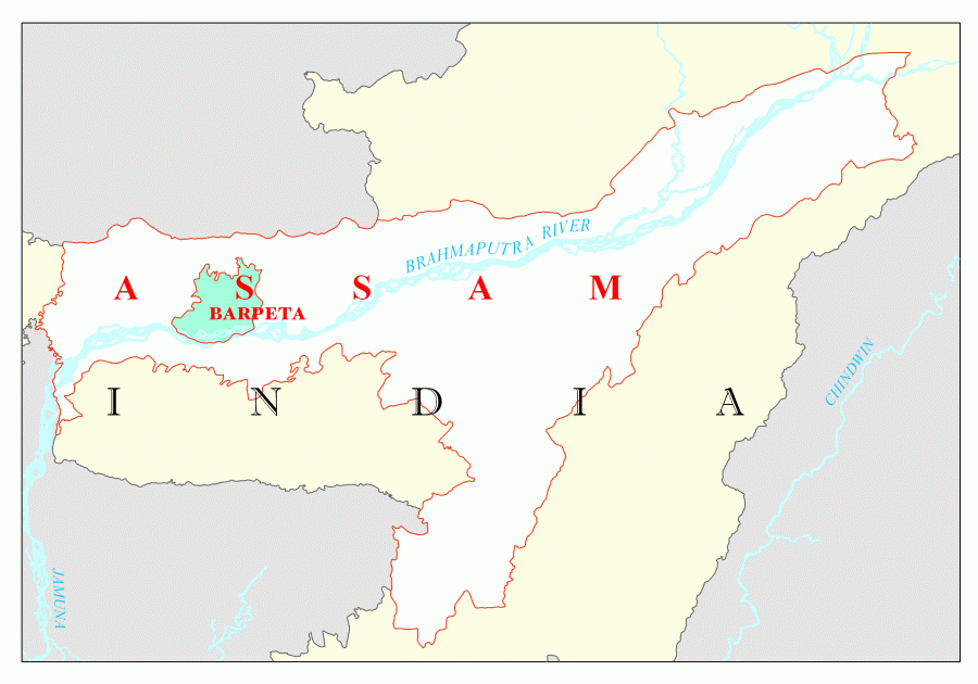 |
| 3. | Bongaigaon | Bongaingaon | 2510 | 3.20 | 732639 | 2.35 | 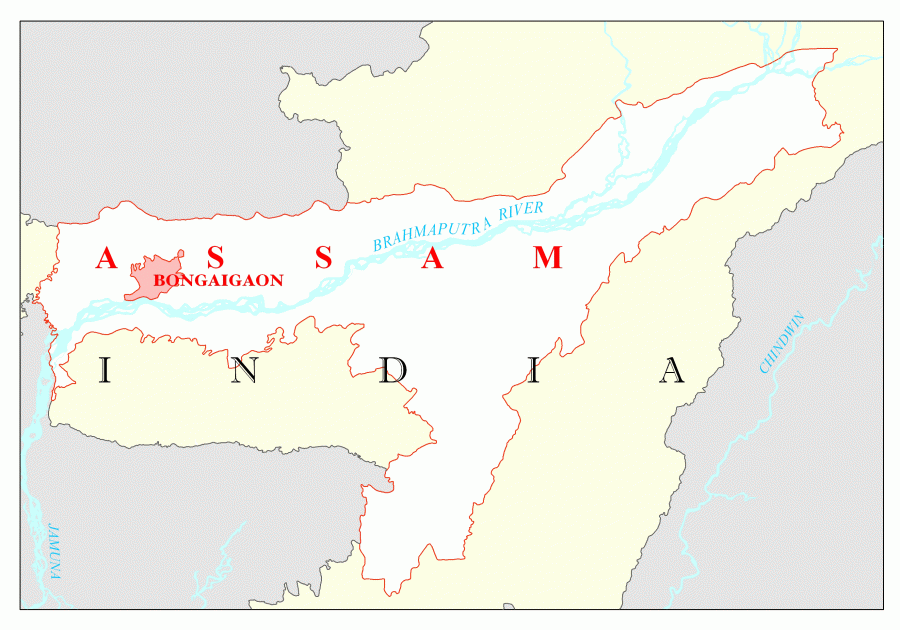 |
| 4. | Cachar | Silchar | 3786 | 4.83 | 1736319 | 5.57 | 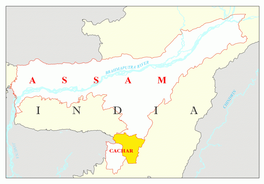 |
| 5. | Chirang | Kajalgaon | 1468 | 1.87 | 481818 | 1.55 | 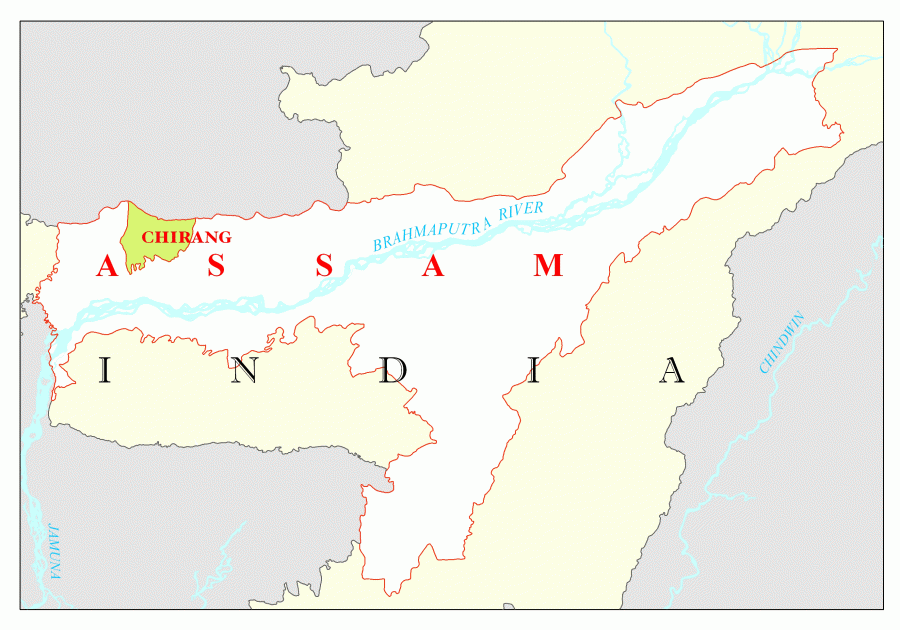 |
| 6. | Darrang | Mangaldai | 3481 | 4.44 | 908090 | 2.91 | 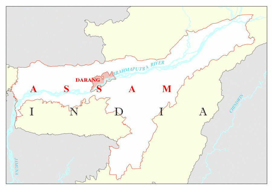 |
| 7. | Dhemaji | Dhemaji | 3237 | 4.13 | 688077 | 2.21 | 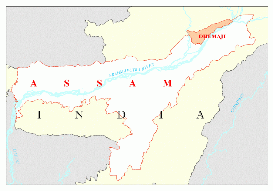 |
| 8. | Dhubri | Dhubri | 2838 | 3.62 | 1948632 | 6.25 | 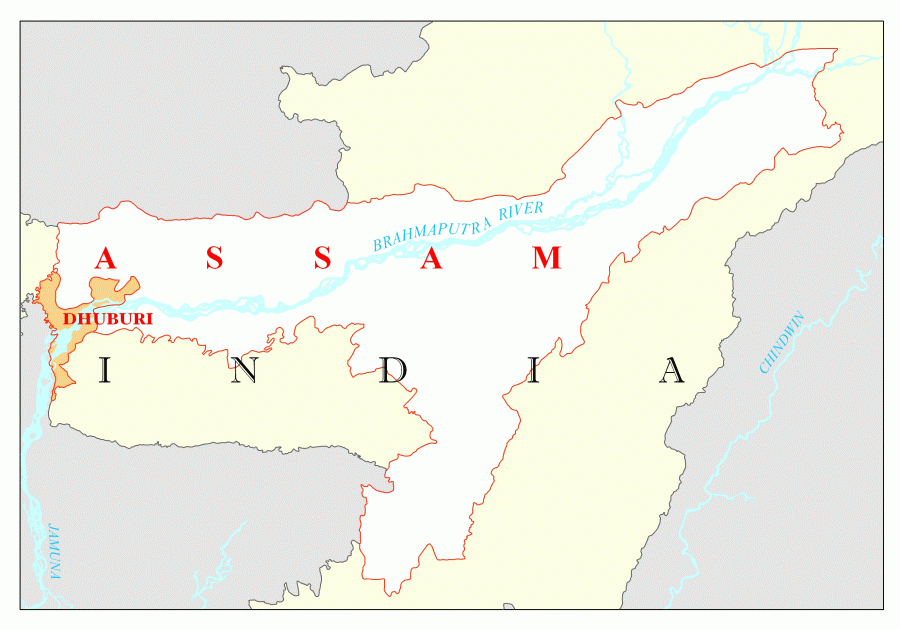 |
| 9. | Dibrugarh | Dibrugarh | 3381 | 4.31 | 1327748 | 4.26 | 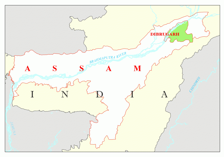 |
| 10. | Goalpara | Goalpara | 1824 | 2.33 | 1008959 | 3.24 |  |
| 11. | Golaghat | Golaghat | 3502 | 4.46 | 1058674 | 3.40 | 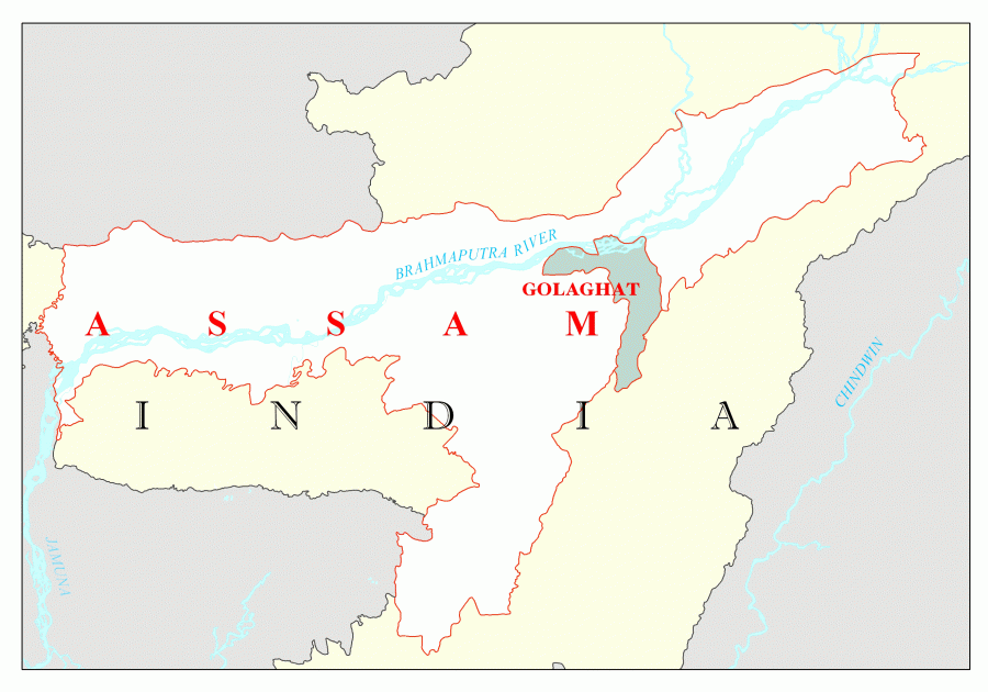 |
| 12. | Hailakandi | Hailakandi | 1327 | 1.69 | 659260 | 2.12 | 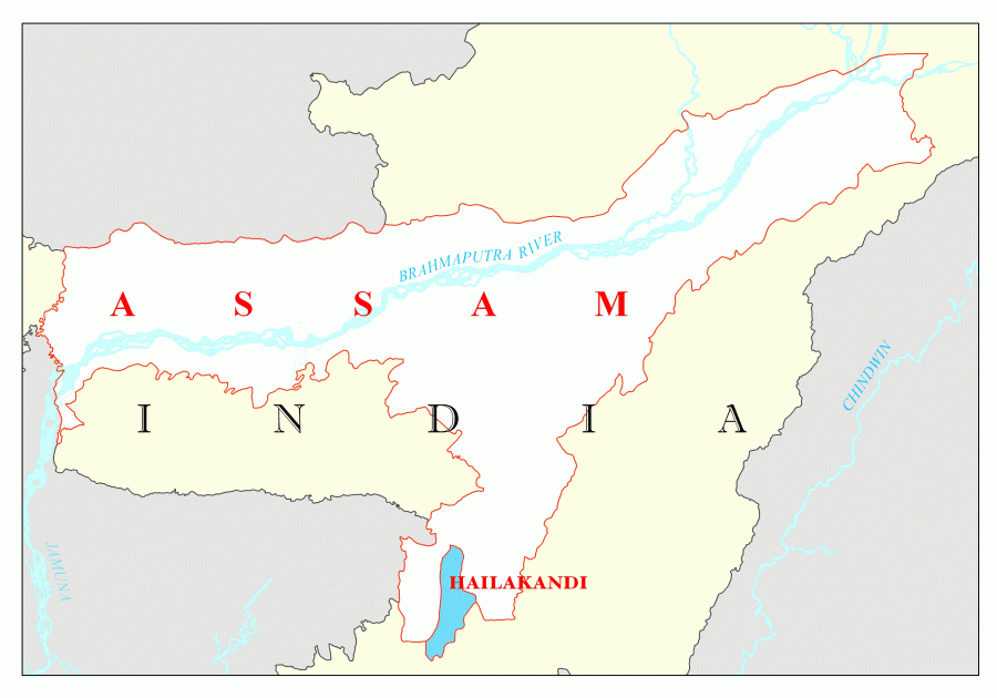 |
| 13. | Jorhat | Jorhat | 2851 | 3.63 | 1091295 | 3.50 |  |
| 14. | Kamrup | Guwahati | 2741 | 3.49 | 1517202 | 4.87 | 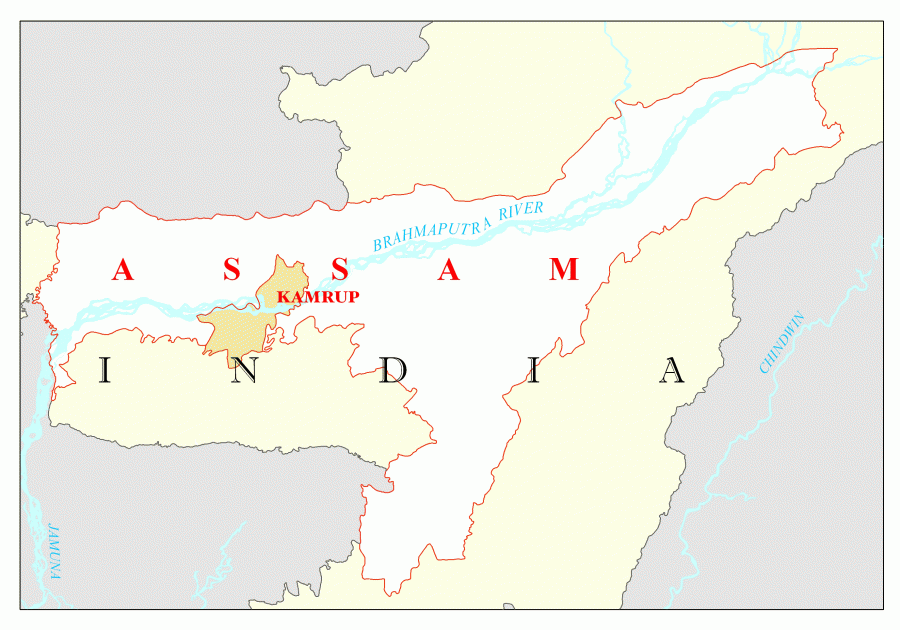 |
| 15. | Kamrup Metropolitan | Guwahati | 217 | 0.27 | 1260419 | 4.04 | 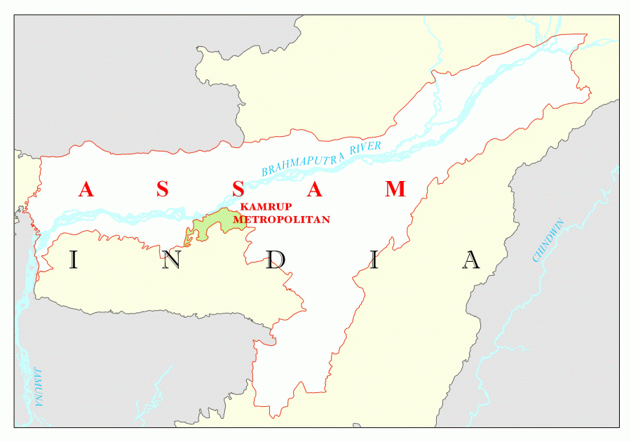 |
| 16 | Karbi Anglong | Diphu | 10434 | 13.30 | 965280 | 3.10 | 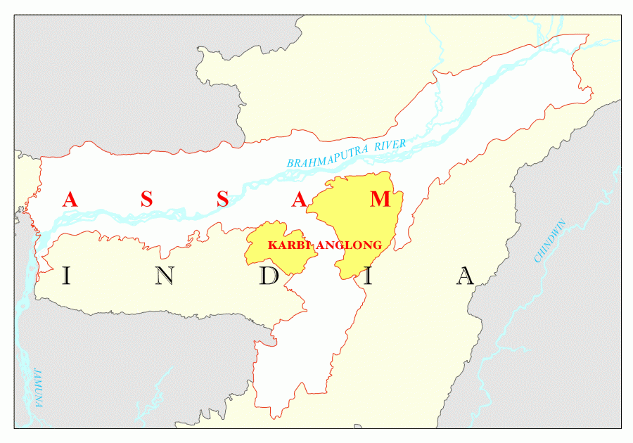 |
| 17. | Karimganj | Karimganj | 1809 | 2.31 | 1217002 | 3.90 | 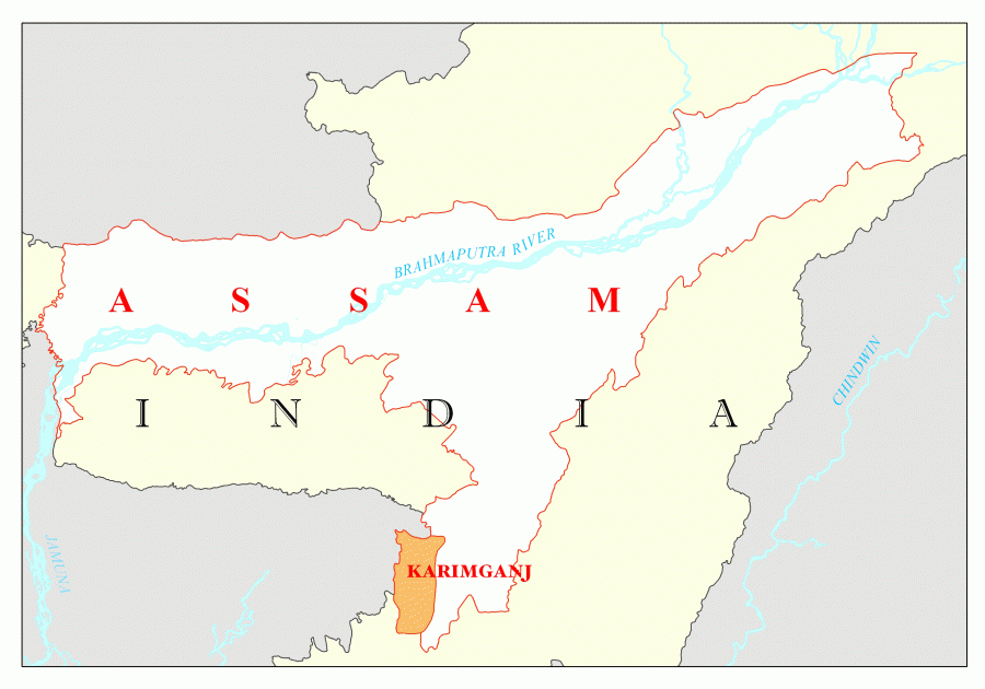 |
| 18. | Kokrajhar | Kokrajhar | 3129 | 3.99 | 903404 | 2.90 | 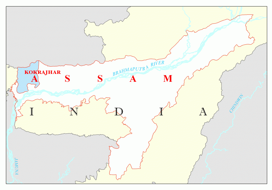 |
| 19. | Lakhimpur | Lakhimpur | 2277 | 2.90 | 1040644 | 3.34 |  |
| 20. | Morigaon | Morigaon | 1704 | 2.17 | 957853 | 3.07 | 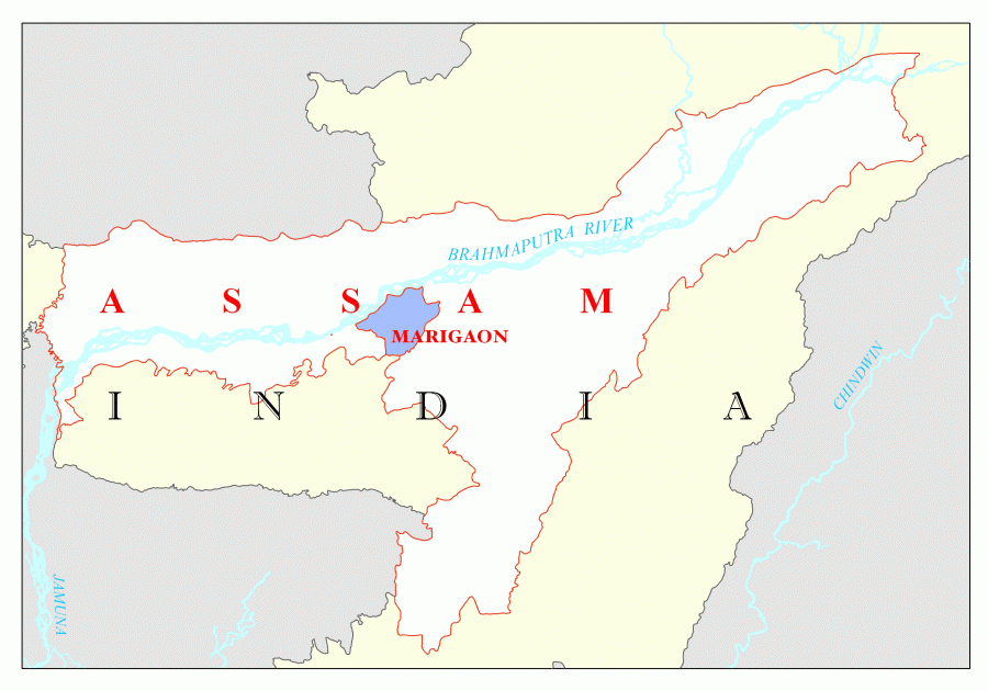 |
| 21. | Nagaon | Nagaon | 3831 | 4.88 | 2826006 | 9.07 | 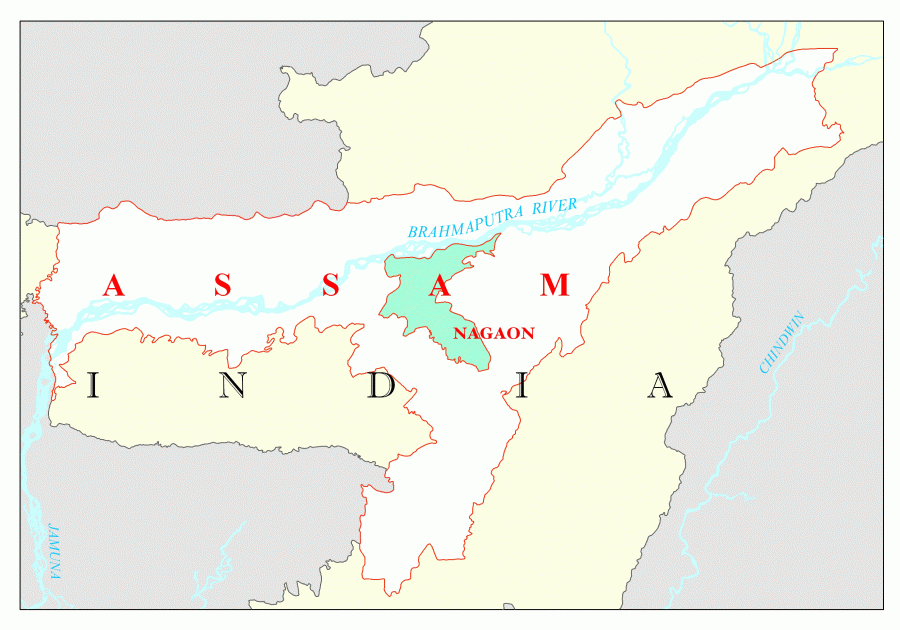 |
| 22. | Nalbari | Nalbari | 2257 | 2.88 | 769919 | 2.47 | 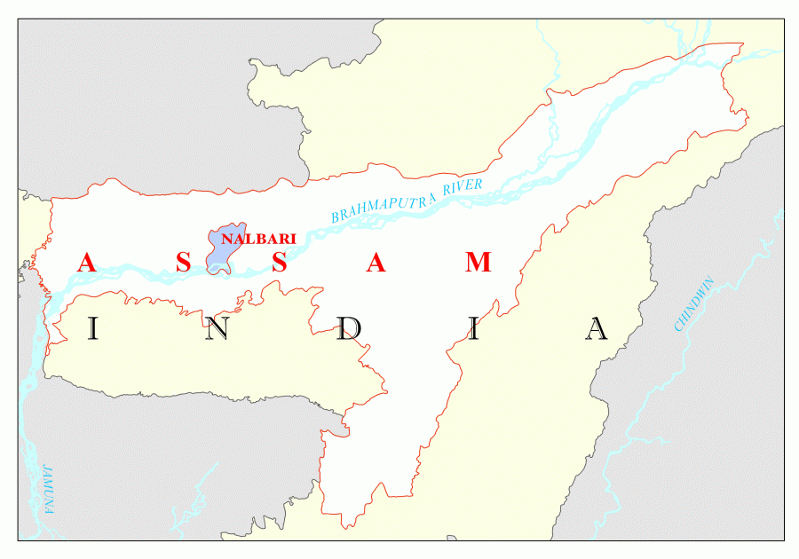 |
| 23. | Dima Hasao | Haflong | 4888 | 6.23 | 213529 | 0.69 | 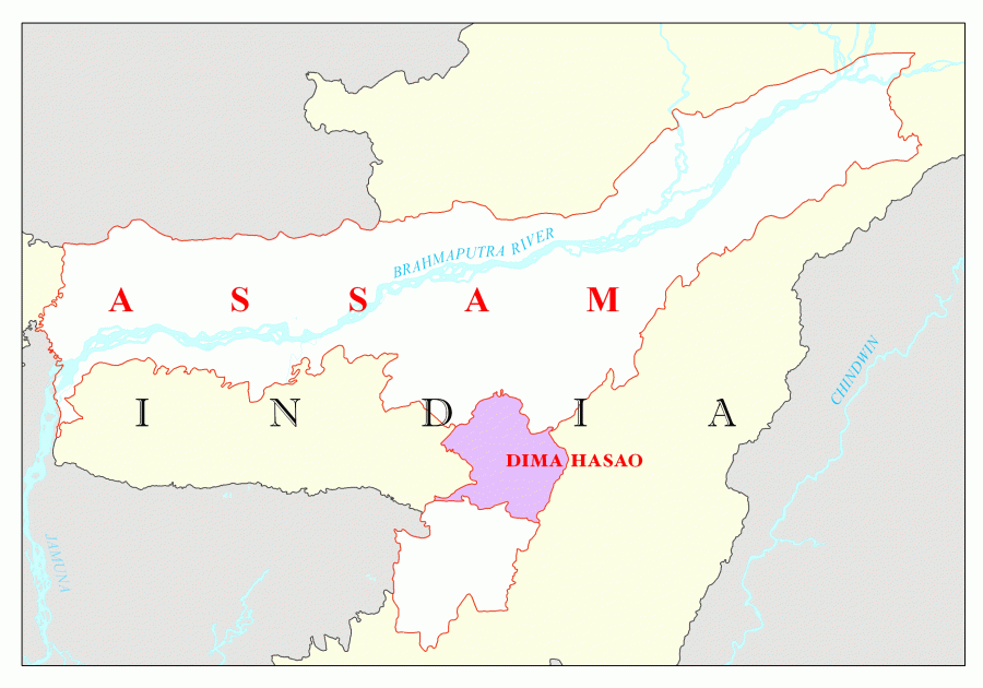 |
| 24. | Sivasagar | Sivasagar | 2668 | 3.40 | 1150253 | 3.69 | 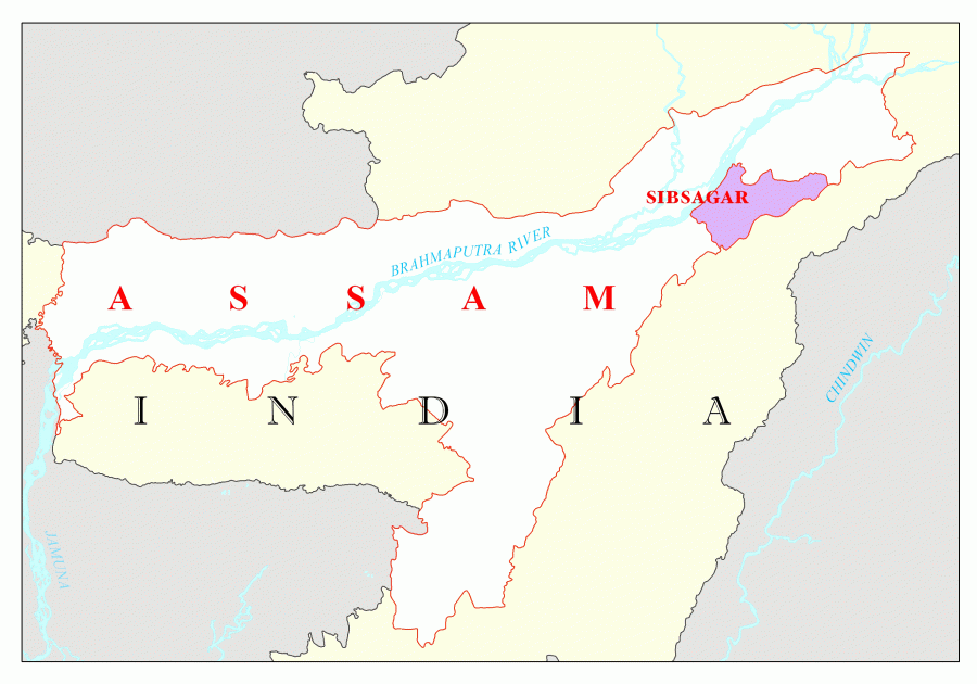 |
| 25. | Sonitpur | Tezpur | 5324 | 6.79 | 1925975 | 6.18 |  |
| 26. | Tinsukia | Tinsukia | 3790 | 4.83 | 1316948 | 4.23 | 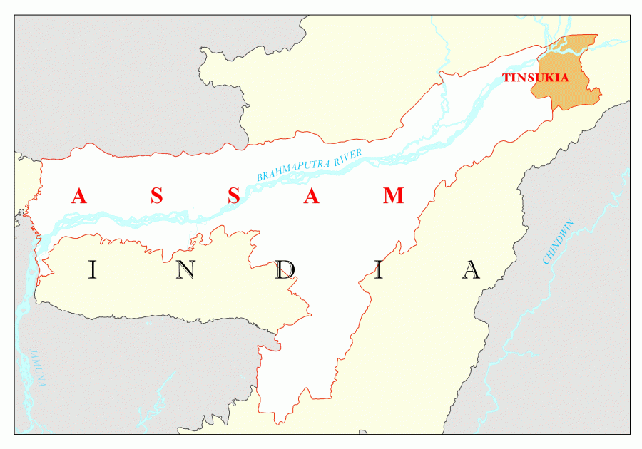 |
| 27. | Odalguri | Odalguri | 1852 | 2.36 | 832769 | 2.67 | 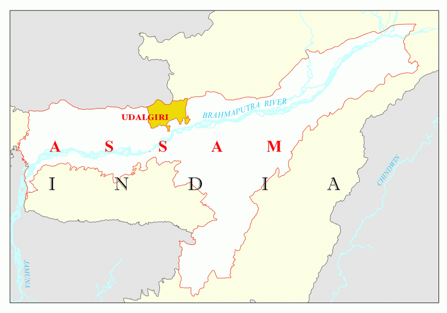 |